|
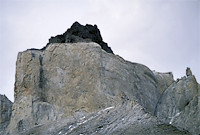
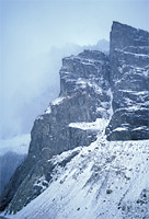
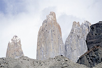
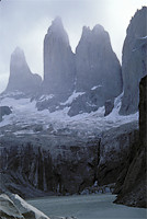
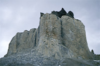
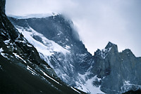
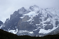
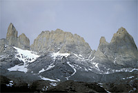
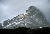
Torres del Paine mountains are formed by frozen magma in ancient volcanic
craters. Everything else eroded away and only these columns remain standing
there as gigantic phallic symbols in the middle of otherwise flat terrain
of Patagonia. Their absolute altitude above the sea level is not
that great, the highest is about 3,248 m, and latitude is only 50 deg S
but the climate is such that glaciers start at about 1000m.
Some practicalities. The most relevant guidebook is "Trekking in the Patagonian Andes" by Lonely Planet. It does not describe any of the mountaineering routes but instead focuses on the logistics and general description of the region and is sufficient to guide you through hike. Getting there is relatively easy. You fly to Santiago de Chile, then to Punto Arenas, which stands right on the Magelan Straight, then three hour bus ride to Puerto Natales. There you'll have to spend a night because all buses to the park depart early in the morning. It takes about 3-4 hours to get there. Upon your arrival, you'll have to show your passport to the militarized park rangers and pay the entrance fee. Enjoy the views! | |
 Torres del Paine 104 KB |
 Torres del Paine 83 KB |
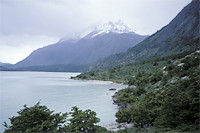
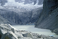 Glacier lake under Torres del Paine 137 KB |
|
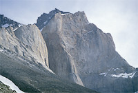 Cerro Almirante Nieto 102 KB |
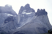 Cerro Fortaleza, Cerro Cabeza del Indio, Cerro Tridente 93 KB |
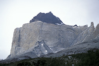 Cuerno Principal 97 KB |
 Cuerno Principal 101 KB |
 101 KB |
 99 KB |
 126 KB |
|
 Glaciar Frances 105 KB |
 Cumbre Principal 96 KB |
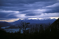
 Cumbre Norte, Cerro Catedral, and Cerro Aleta de Tiburon 105 KB |
 Cerro Fortaleza 97 KB |
 Lago Nordenskjold 98 KB |
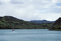 Lago Pehoe 100 KB |
 96 KB |
|